Hiking Routes Across Every National Park In England
Last year I hiked across every national park in England. I don’t mean a little walk around, I mean a multi day hike ALL the way across, from one side to the opposite of each of the 10 national parks in England. Below you will find my hiking routes I did across every National Park in England. You could do them too!
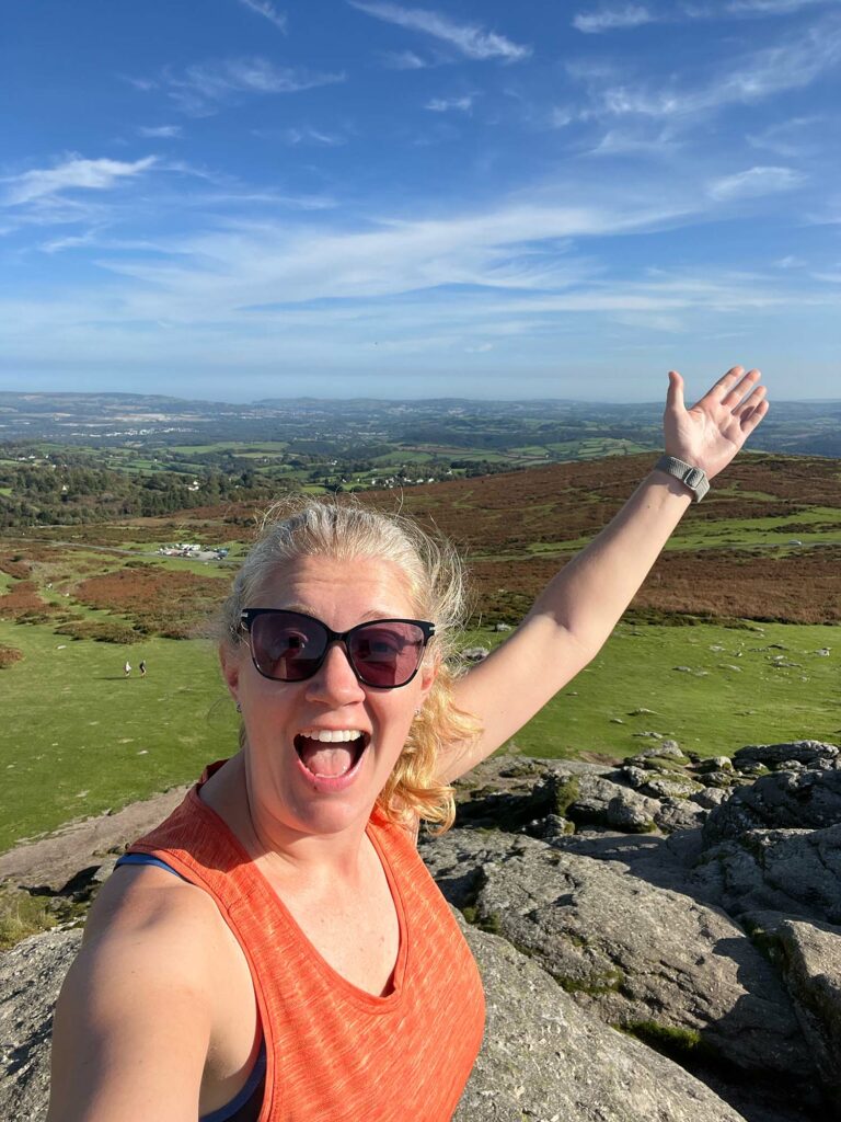
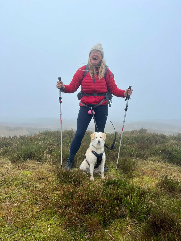
This was part of my ‘A Walk in the Parks‘ challenge. I walked 1000 miles with my dog Cookie raising over £20,000 for England’s National Parks. It was quite the challenge and feels a bit surreal as I look back on almost 3 months of my life spent walking outside.
As I start preparing to hike across the Welsh National Parks later this year I thought it was time to share my hiking routes across every National Park in England.
These were the rules I set for myself when planning my hiking routes.
- I must walk from one side to the (near enough) opposite side of each park on the longest(ish) axis
- Each hike route should include the highest peak in each National Park
- I have an average of one week per National Park to include rest days and travel to the next park
- ultimately I was aiming to hike 1000 miles in total, so about 100 miles per park
That was it… keep it simple. I got to work planning my routes with a combination of physical maps and Komoot. It was a chicken and egg situation needing to plan my routes around places to stay for the night, whilst also ensuring I wasn’t adding too many extra miles to my route. I camped a few times, but the added weight of all the camping gear was too much to carry for 10 weeks.
Hiking Routes across every national park in England
Here are the routes I did, including the planned route and the actual walk I did in each park. Some routes took me across known ways across the park, but others involved matching up various paths to give me an interesting and relatively straight forward route across each National Park.
They are shown below in the order I did them, ending back home in my beloved Peak District National Park.
Hiking Route Across Northumberland National Park
Northumberland was my first park and was possibly the hardest route to plan as it has the smallest population of all the National Parks meaning very few places to stay. I camped the first two nights and then managed to find places in or on the edge of the park. Camping made me realise I really didn’t want to carry my tent and all the related paraphernalia for 1000 miles, so soon dumped various things and lowered my bags weight as much as I could
Start Point: Kirknewton
End Point: The Sill Visitor Centre
Highlights: The ‘Pit Stop’ along the Pennine way on the final day for tea and snacks and chats, a fun stay at Brown Rigg, a much needed rest at the First and Last Hotel and the ease of finding my way when walking across the Pennine Way pavers.
You can see my full route by visiting my collections on Komoot or clicking on the image below.
Hiking Route Across North York Moors National Park
I did a bit of an ‘n’ shaped hike across the North York Moors. This ensured I ticked off the highest peak, Urra Moor, but also included some of the coastal path. Other than my home park of the Peak District, the North York Moors is the park I knew best. Though I love visiting new places, there is something special about returning again and again to a place you love and reliving old memories.
Start Point: Kilburn
End Point: Scarborough
Highlights: Familiar coastal walking on the final stretch, my friends Swatee and Aletheia joining me for a couple of days including a stay at The Black Swan and the most magical stay at Coast and Camplight.
You can see my full North York Moors route on my Komoot collections or by clicking on the image below.
Hiking Route Across Yorkshire Dales National Park
When I got to the Yorkshire Dales the weather turned, and it was HOT! I walked mostly along the Dales Way, with a few small deviations. I loved the rolling hills across the park, though as the temperature increased I really started to notice the lack of trees across the parks. When you are desperate for shade you suddenly start to notice the lack of it. Cookie had to leave for a while half way through the Dales too as she hurt her paw and it was just too hot for a fluffy dog like her.
Start Point: Addingham
End Point: Kirkby Stephen
Highlights: The incredible views at Bolton Abbey, the Ribblehead Viaduct on the day I hiked up Whernside and lush green hills everywhere I turned.
You can see my full Yorkshire Dales hiking route on my Komoot collections or by clicking on the image below.
Hiking Route Across the Lake District National Park
The Lake District really is on another level (literally) to the other parks. Almost all of the top 80 peaks in England are in the Lake District or North Pennines. It meant there were more hills to navigate, but with only me and my backpack to worry about and no dog it helped me swiftly move through the park. I felt particularly proud when I summited Scafell Pike and even prouder when I made it back down.
Start Point: Caldbeck
End Point: Grange-over-Sands
Highlights: Reaching the summit of Scafell Pike and making it back down again for a pie at the Old Dungeon Ghyll pub and a luxury spa stay at The Beech Hill Hotel and Spa for proper relaxation.
You can see my full Lake District route on my Komoot collections or by clicking on the image below.
Hiking Route (and canoeing) across The Broads National Park
The Broads National Park really is very different to the others as it is primarily water! This also meant it was very flat. I thought long days would be easy, but it turns out walking on the flat with no variation in the muscles used can be harder than trekking up a big mountain. Who knew!?
As The Broads was mainly water we decided to do some canoeing for part of it too, to experience this National Park as it should be experienced… on the water! Olly joined to help with the canoe and it was a brilliant relief to my feet for a couple of days.
Start Point: Honing
End Point: Beccles
Highlights: Canoeing – a glorious rest for my feet, staying in one place for the week with Olly ferrying me and to and from the start and finish lines each day and seeing lots of bird life on the water.
You can see my full Broads route on my Komoot collections or by clicking the image below.
Hiking route across South Downs National Park
As I was walking across the longest axis of each park that meant the South Downs National Park was the longest. 7 days of walking, mainly along the South Downs Way, was hard work and I was very excited to get to the end. I did a couple of small deviations for accommodation, including a night in Brighton, one of my favourite seaside towns. The South Downs Way is clearly marked and is relatively easy with only small ascents and descents.
Start Point: Eastbourne
End Point: Winchester
Highlights: Friends, rangers and trustees of the park joining me for various bits, a super easy to navigate path each day, an amazing sausage roll at the Cadence cycle club cafe and a couple of night’s rest at Beachcroft Beachuts at the end of a long week
You can see my full South Downs route on my Komoot collections or by clicking the image below.
Hiking Route across the New Forest National Park
After the flat painful hikes in The Broads I was ready for a difficult hike across the smallest National Park. However, though relatively flat, The New Forest brings a lot of variety for such a small park and I really enjoyed my time walking across here. I could have done it in two days, so added a few wiggles to extend my stay and visit some projects and people across the park. I was also driven to the highest peak at the end of the hike as it wasn’t quite on my route. Blink and you will miss it though, the peak isn’t very high.
Start Point: Woodfalls
End Point: Beaulieu
Highlights: The ponies! and the pigs and the deer and the cows. It was like being on safari every day. The uniqueness of this small but special park and finding a rare mushroom, ‘devils fingers’ that looked like a creepy hand.
You can see my full New Forest route on my Komoot collections or by clicking the image below.
Hiking Route across Dartmoor National Park
I had been warned to be weary of the ever changing Dartmoor weather when walking across the wide open moorland. However, for the majority of my hike I was treated to gorgeous warm October weather and blue skies. The highest peak ‘High Willhays’ is on Ministry of Defence land, so you need to check it isn’t a shooting day to ensure you are safe to walk there. I walked across the park then went back ‘in’ for the highest peak as couldn’t make it work another way. That was the day the true Dartmoor weather showed up, wind, rain, fog and occasional sunshine too. It all adds to the experience.
Start Point: Ivybridge
End Point: Oakhampton
Highlights: Sunshine and blue skies on gorgeous walks across the moors, a relaxing restful break at ‘Room with a View‘ right in the middle of the park, my mum visiting to help out and lots of tasty cafes and pubs to keep me going.
You can see my full Dartmoor route on my Komoot collections or by clicking on the image below.
Hiking route across exmoor national park
My penultimate park! By the time I got to Exmoor I was very tired, though also excited to almost be on the home straight. I was glad for some coastal walking, though the up and downs on day one were brutal and the ascent was almost as high as Scafell Pike. I really enjoyed the walk through Exmoor and got a real mix of sceneries from coastal walks, to woodlands, moorlands, farmland and walking beside a river.
Start Point: Combe Martin
End Point: Dulverton
Highlights: Valley of rocks on the coastal walk, friends joining me with a double buggy for an entertaining walk along a narrow steep coastal path, a foggy but fun walk with a ranger to Exmoor’s highest peak.
You can see my full Exmoor route on my Komoot collections or by clicking on the image below.
Hiking Route across the Peak District national Park
In week ten I made it home. My route across the Peak District is longer than it needed to be, but I wanted to visit places I was less familiar with and see as much of the park as I could. I enjoyed the changing landscapes between the dark and white peak. That finish line had never tasted sweeter when I took off my falling apart boots and enjoyed my first glass of wine in over 3 months.
Start Point: Marsden
End Point: Mapleton
Highlights: Walking with friends and colleagues each day in my favourite National Park. Visiting new areas, like the north and west of the park, staying at the fun Bike and Boot and gorgeous Maynard Hotel in Grindleford. The finish line!
You can see my full Peak District hiking route on my Komoot collections or by clicking on the image below.
So there you have it, the 10 hiking routes I did across every National Park in England. You can follow my routes exactly or add them to your own Komoot profile and edit for what works for you.
Let me know if you give any of them a go, even if it is just a small part of one of the routes.